|
|
|
|
 |
||
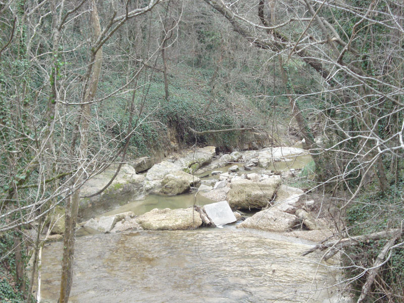
Mint Spring Branch

| Image Data | |||
| Date: Direction: State: Country: Marker ID: |
01/25/2013 West Mississippi USA 107 |
||
| Location: | Vicksburg National Military Park | ||
|
|
|
|
Association: Government
Longitude: -90.867799
Description: Mint Spring Branch descends from Loess Bluffs of Vicksburg to the Mississippi River crossing layers of bedrock comprising the lower levels of the river bluff. One week after a series of hard rains.
| No Additional Dates for this Site. |